
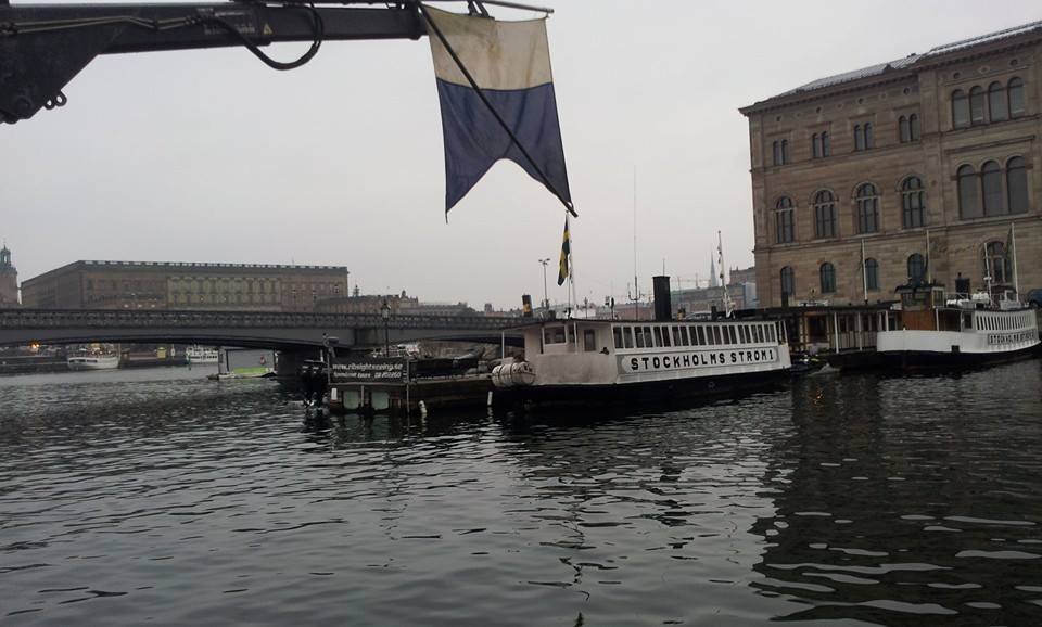
City centre diving.
This week the marine archaeology unit have been carrying out an archaeological survey (marinarkeologisk utredning) in the centre of Stockholm, between Strömbron and Beckholmen. The planned development for the area involves large cold water pipes placed underwater along this route. The area was first surveyed with a sidescan sonar in 2013 and the data was analysed by us to locate indications of possible archaeological interest.
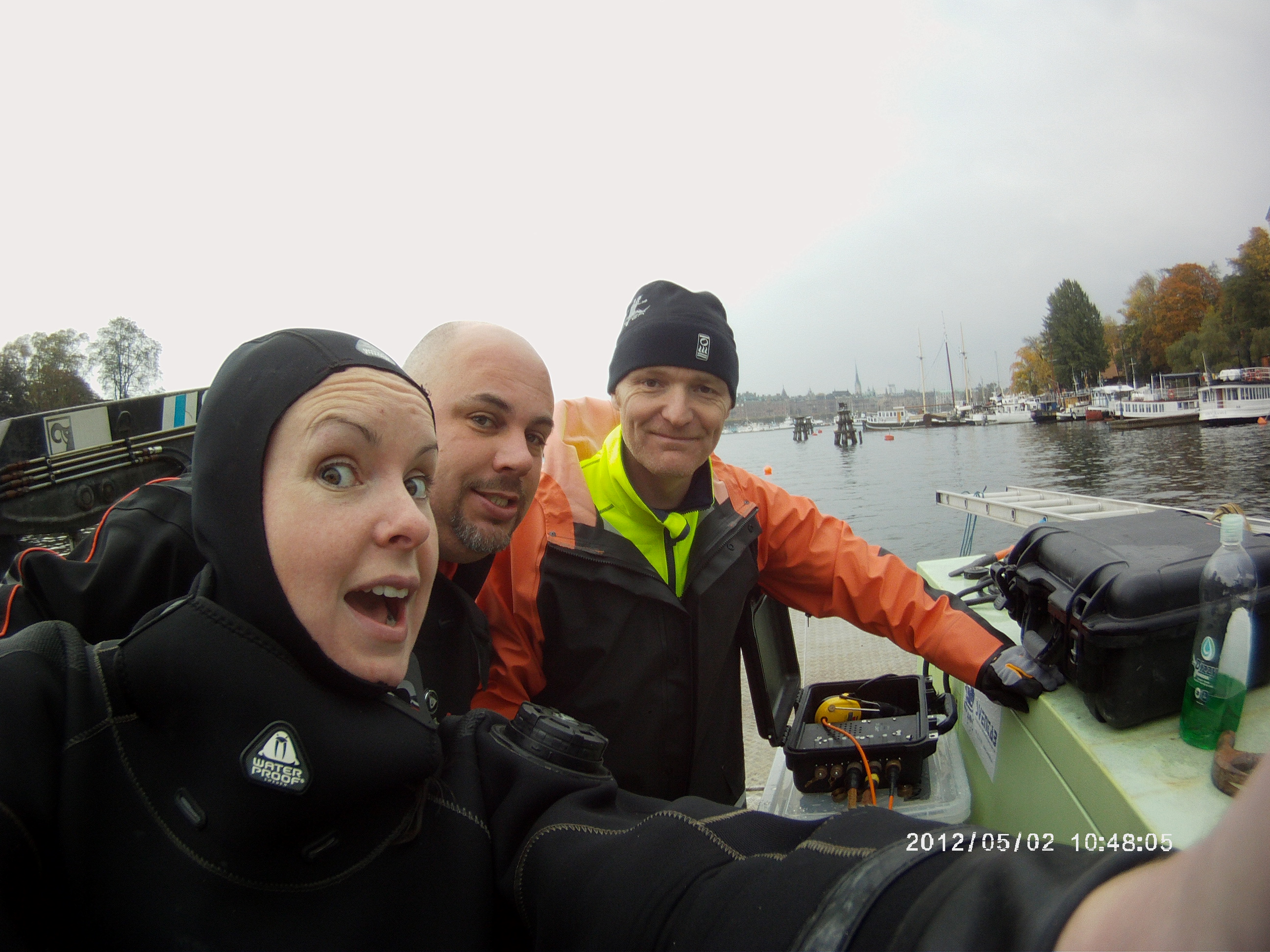
Pre-dive group selfie.
This week and running into next Thomas, Staffan, Delia and Matt will dive on and inspect the indications, record and report on what we find. As an aid to the previous side scan data we also use our own scanning sonar as an additional aid for divers. For each of the sonar indications the routine is as follows: mark the indication location with a buoy, anchor the work vessel to provide a safe platform, place the scanning sonar in the water and record the indication. The diver then goes in the water and can be directed by the dive leader, who sees the diver in the scanning sonar, which is all very James Bond.
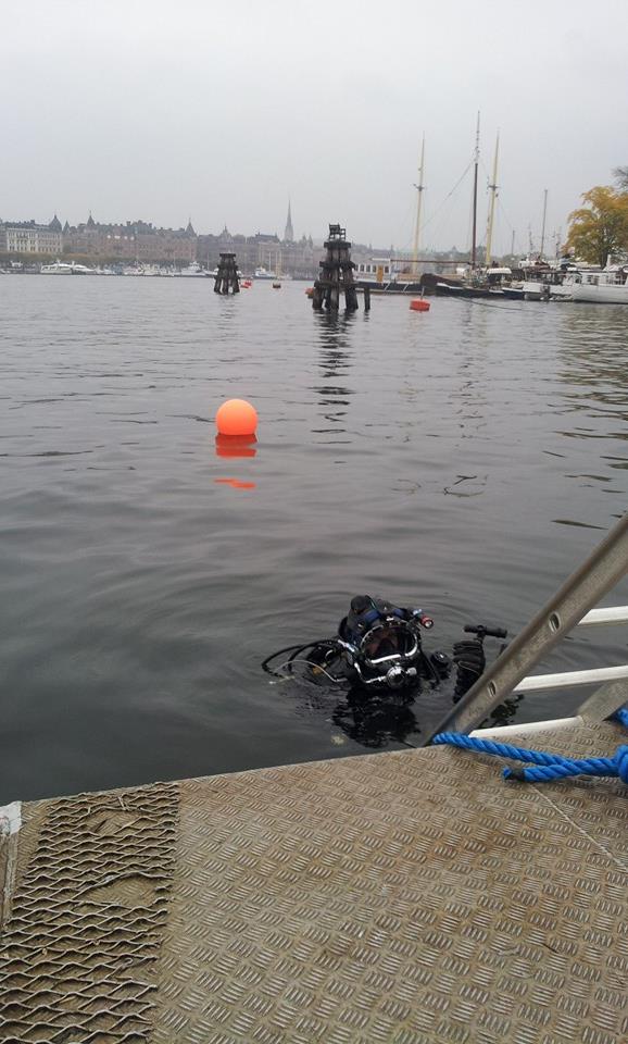
Delia going to video indication 16 shipwreck.
As one would imagine in a busy city center, not all the indications are always of archaeological nature. However, indication 16 is of great interest. It lies on the northern edge of Skeppsholmen, measures around 18m long and 6m wide, is carvel-built and has obvious signs of fire damage. Below is an image recorded by our Mesotech 1000 scanning sonar. Staffan took some samples for dendrochronological analysis and so fingers crossed we should have a date soon enough.

Indication 16 shipwreck, scanning sonar positioned in centre.
After a productive week we head back to the west. Stay tuned for tales of week 2!
